wreck · Florida Keys
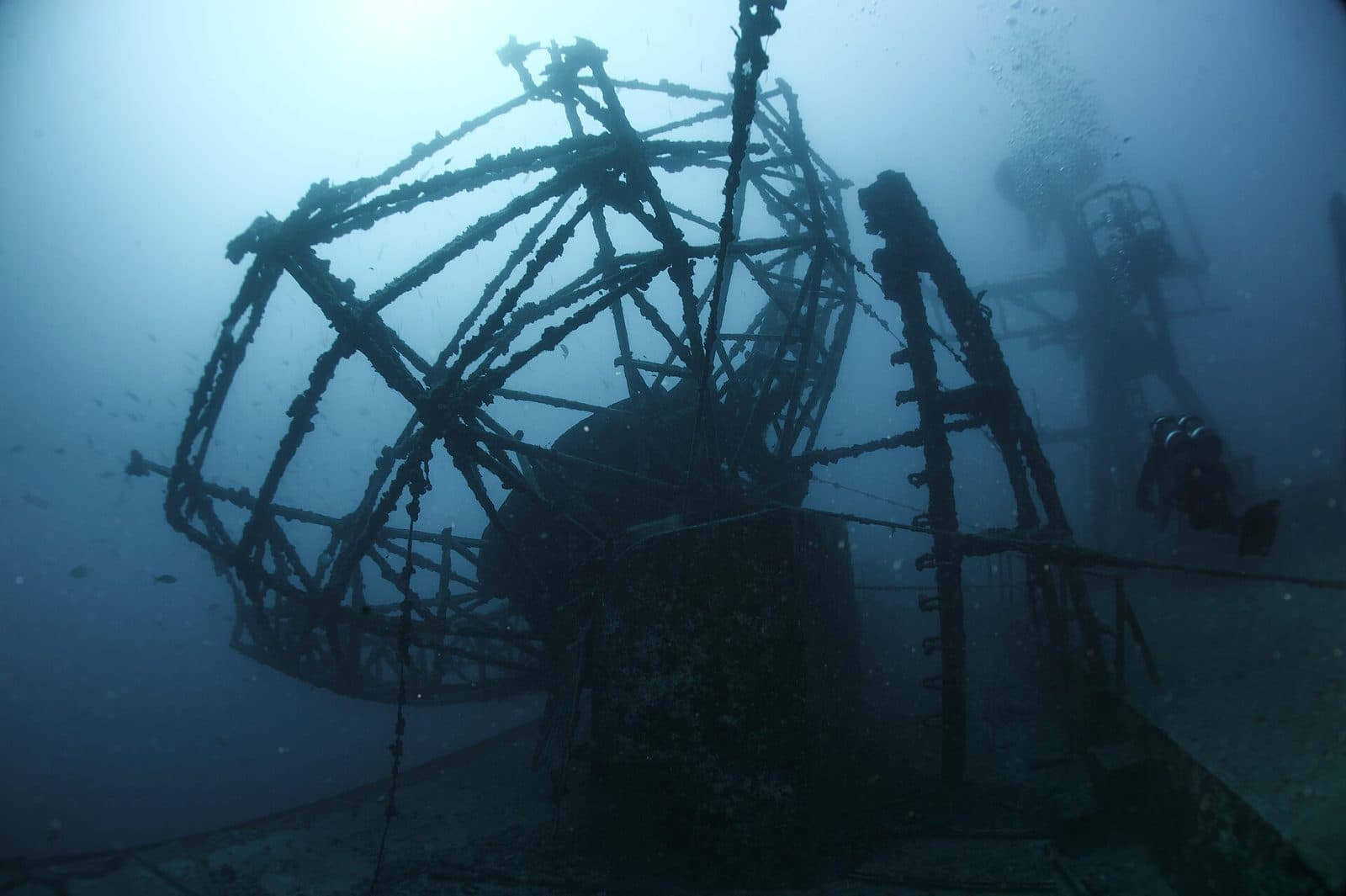
USNS General Hoyt S. Vandenberg
Dive here with
 Captain Hook's Dive Key WestKey West (New Town)
 Captain's Corner Dive CenterKey West (Old Town)
 Finz Dive CenterStock Island
 Lost Reef AdventuresKey West (Historic Seaport)
 SNUBA Key West / Divemaster Key WestKey West (Garrison Bight)
 Southpoint DiversKey West (Old Town)
 Spree ExpeditionsKey West / Stock Island
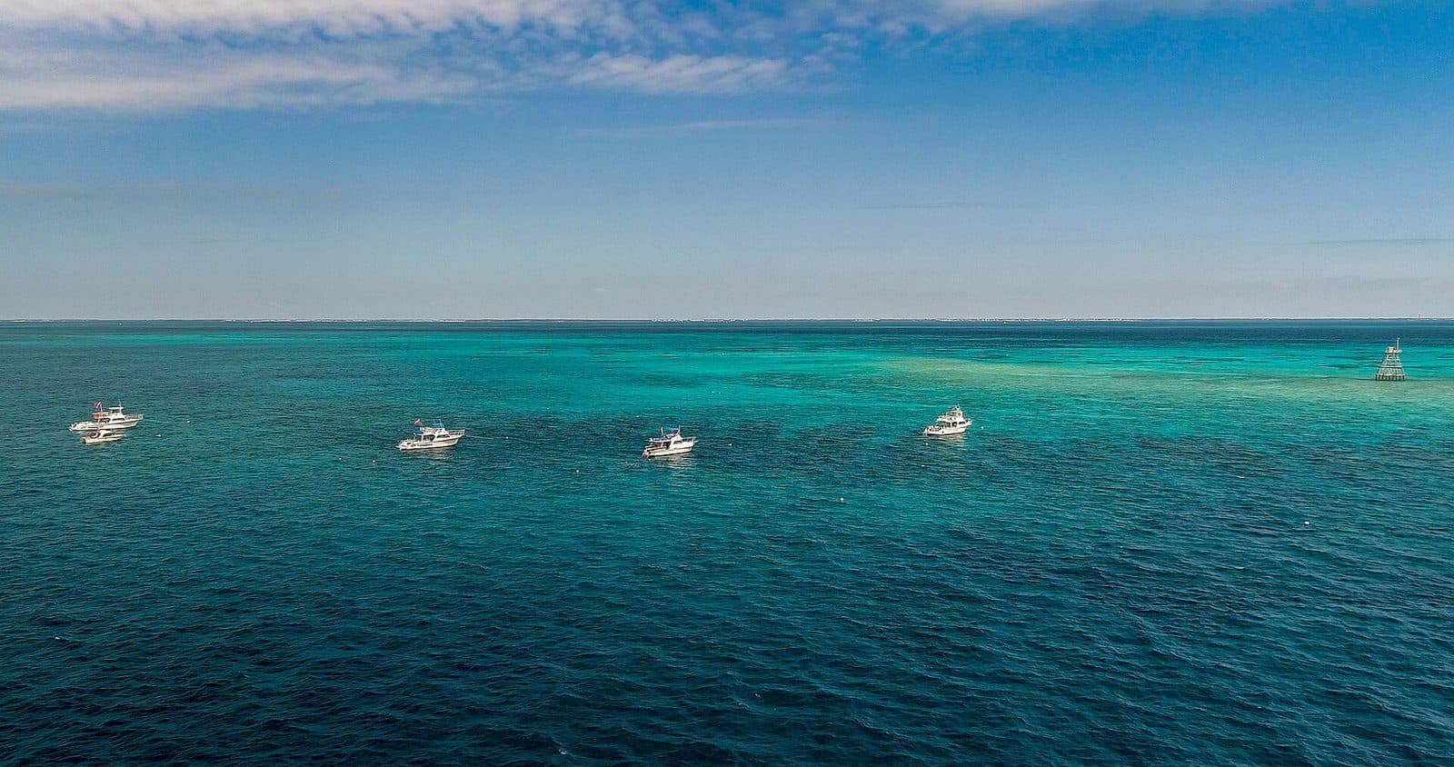
A 522-ft former troop transport and missile-tracking ship scuttled upright about 7 miles south of Key West. The shallow superstructure gives advanced divers a first look, while the deck and hull reach deep-diving depths.
Shallowest superstructure ~40 ft but main deck and sand are well below 60 ft recreational open-water limit; exposed offshore site often with current; deep-certified divers only for deck level, technical training for keel/penetration.
- Length ft
- 522
- Launched
- 1943
- Former names
- USS General Harry Taylor (AP-145), USAS General Hoyt S. Vandenberg (T-AGM-10)
- Sunk date
- 2009-05-27
- Sunk as
- intentional artificial reef
- Relief ft
- 100
- Regulations
- Within Florida Keys National Marine Sanctuary; use wreck mooring buoys.
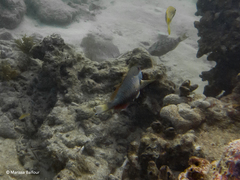
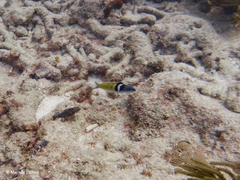
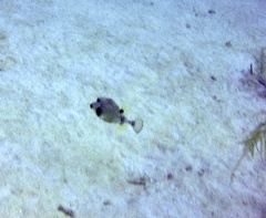
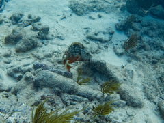
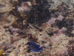
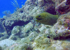
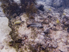
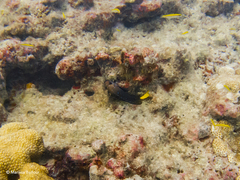
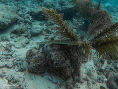
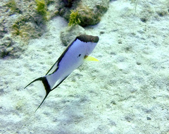
Commonly seen
Logged here
No dives logged here yet — yours could be the first. Every logged dive adds to this site's almanac.
Log a dive hereSanctuary data: NOAA Florida Keys National Marine Sanctuary. Artificial reef data: Florida Fish and Wildlife Conservation Commission. Map data © OpenStreetMap contributors (ODbL).
Sources: openstreetmap.org · position: FWC artificial-reef deployment point (MO0062); corroborated by NOAA wreck mooring buoys V1, V2, V3, V4, V5, V6 (centroid 24.45947, -81.73689, <100 m away)