wreck · Florida Keys
Alexander's Wreck (USS Amesbury)
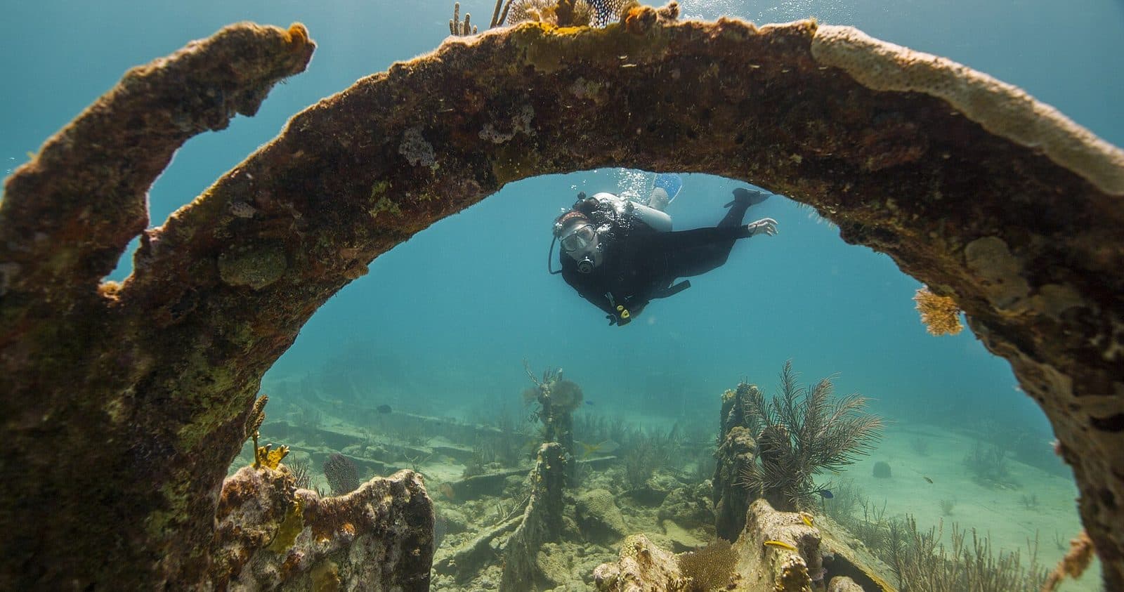
Broken remains of a WWII destroyer escort in shallow water about 5 miles west of Key West, split into bow and stern sections. Gun mounts and davits remain recognisable among the debris.
Bottom ~25 ft (NOAA mooring depth 22 ft); shallow and suitable for new divers and snorkelers in calm conditions; sharp broken metal and occasional current are the main hazards. Shallowest point not documented.
- Built
- 1943
- Hull numbers
- DE-66, APD-46
- Wrecked
- 1962
- Data conflict
- An OSM way tagged 'USS Amesbury (bow)' (way 1459203058) sits at ~24.5845,-81.8192, ~17 km east of the NOAA buoy; this conflicts with NOAA's statement that the sections are 600 ft apart and was not used.
Commonly seen
Logged here
No dives logged here yet — yours could be the first. Every logged dive adds to this site's almanac.
Log a dive hereSanctuary data: NOAA Florida Keys National Marine Sanctuary. Artificial reef data: Florida Fish and Wildlife Conservation Commission. Map data © OpenStreetMap contributors (ODbL).
Sources: openstreetmap.org · position: NOAA wreck mooring buoy AM (single buoy). The wreck is in two sections ~600 ft apart; buoy marks the dive site, not every section. OSM 'USS Amesbury (stern)' node 13382701660 lies ~800 m SSE